News

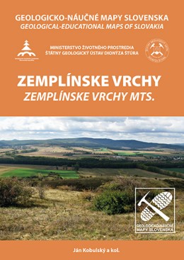
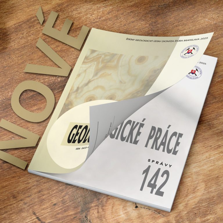
Latest publications

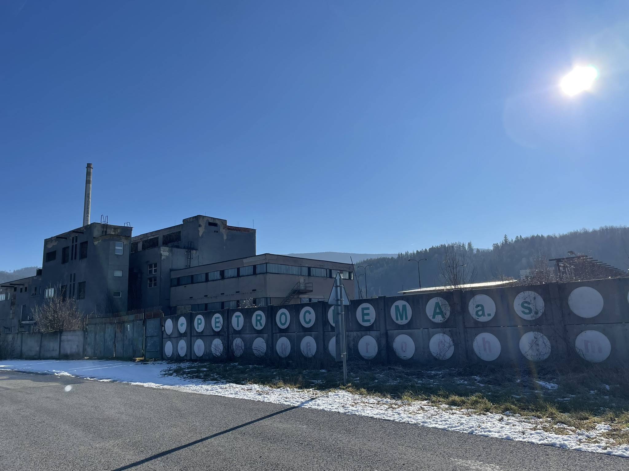
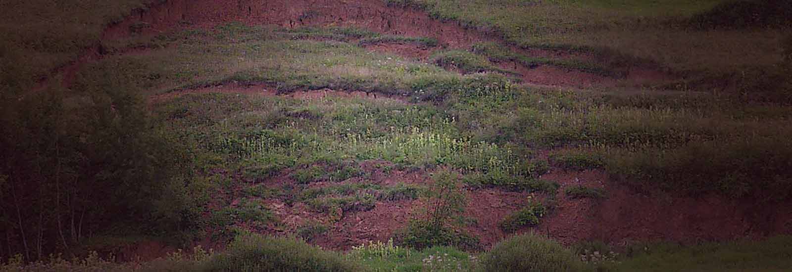
Geological Survey of Environmental Burden Nemecká – Petrochema Dubová Site ŠGÚDŠ is conducting a geological survey of the environmental burden Nemecká – Petrochema Dubová from 2024 to 2028, classified among the highest-risk sites. The project builds on the State Program for the Remediation of Environmental Burdens. Read more 3D visualization of the source spatial geological data from the territory of SR The objective will be the 3D visualization of the source geological data of the 3D geological model of the Slovak Republic at a scale of 1: 500 000. The project will deal with digital and spatially processed data from geological boreholes and geological profiles. Read more Prevention, Survey and Monitoring of Emergency Landslides Slope deformations nowadays have caused much more damage than in the past. They are proportional to the degree of urbanization of the landscape. It is very important to reduce the risks associated with slope deformations to the lowest possible level. Appropriate measures can prevent the occurrence of slope deformations, or reduce their consequences. The geological task will be implemented in accordance with the Conceptual Document of the Programme for Prevention and Management of Landslide Risks (2014-2020), which sets out the frameworks and measures for gradual reduction of landslides risks related to floods. Read more Engineering-Geological Mapping of Slope Deformations in High-Risk Areas of Slovakia Since March 2024, ŠGÚDŠ has been implementing a 70-month project “Engineering-Geological Mapping of Slope Deformations.” The survey covers an area of over 3,100 km² in the most high-risk regions of Slovakia (Central and Low Beskids, Slanské vrchy, Štiavnica Hills, Žiar Basin). The aim is the identification, registration, and mapping of landslide risks to enhance prevention and territorial protection. Read more Obr p3 Obr p1 Obr p2

Our services

Maps and data

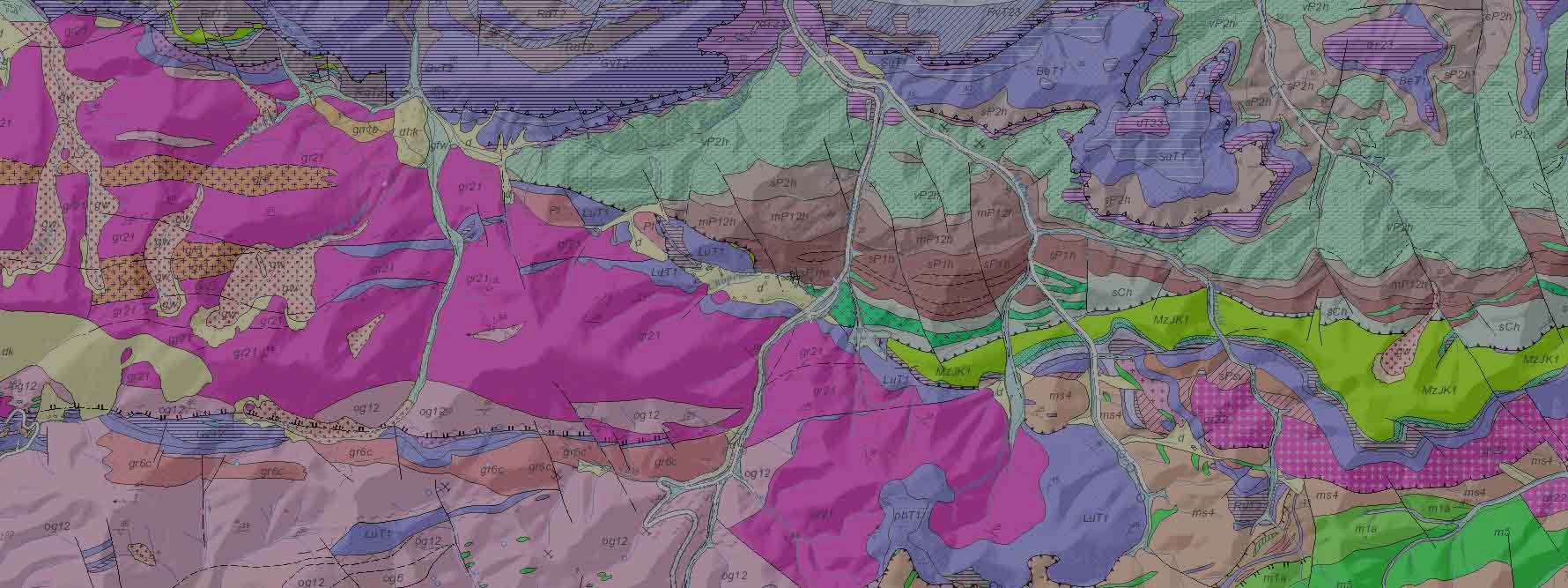
Geological maps and their text explanations represent extensive monographic outputs owing their content and professional range. They are standing outside the interest of the private sector.

Publishing

Comprehensive information about geological evolution and geological setting of the territory represents an inevitable basis for rational exploration and assessment of raw material resources.

Digital archive

More than 100,000 objects are located in the Geofond and Central Geological Library. At the completion date of the project, around 44,000 objects were converted to electronic form.

Laboratories

The State Geological Institute of Dionýz Štúr has included in its structure a number of laboratories due to the need to fulfil the obligations in the Statute of the Institute.

Geological maps and their explanatory notes for sale

Projects co-financed by the EU