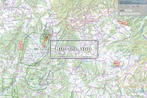
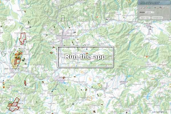
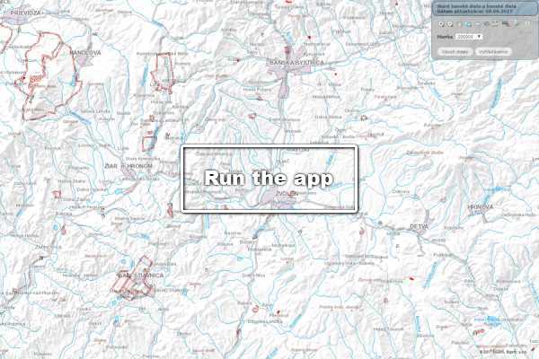
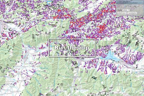
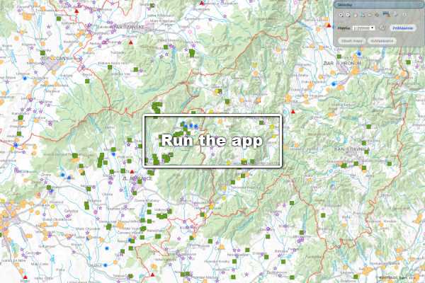
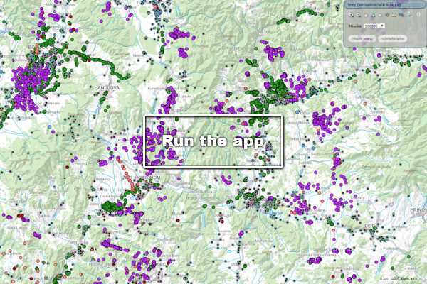
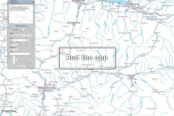
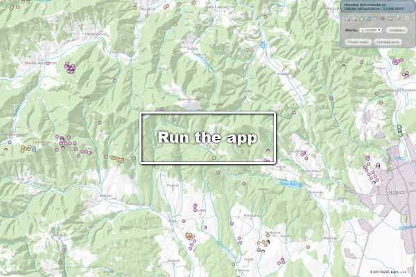
Geofond registries represent a complex of spatial information about the geological exploration of the SR territory, which are processed and kept on the basis of Act No. 569/2007 Coll., on Geological Works (Geological Act) and Act No. 44/1988 on the protection and Utilisation of Mineral Resources (the Mining Act), as amended by further regulations. Historically they originated at dif-ferent times, and not continuously.
1. The exploration areas – the registry in which they are set identified areas in which the licensed organizations search for reserved minerals.
2. The deposits – the Deposits registry represents the currently active and verified deposits of minerals (reserved deposits and non-reserved minerals deposits).
3. The Old Mining Workings and Recent Mining Works – registry that maps the manifestations of historical mining.
4. The Landslides – the registry keeps slope deformations documented (lanslides).
5. The Landfills – registry of waste dumps keeps all the registered waste dumps.
6. Boreholes – The database of Geological Boreholes with link to the digital archive.
The applications of the registries are used, inter alia, when expressing the expert opinions to investments and to the physical planning documents of the municipalities and territorial plans of the large territorial units on the basis of Act No 50/1976 50/1976 on Land-Use Planning and Building Order (Building Act), as amended by further regulations.
7. Level of Investigation – includes Deposits, Geological Map and Geophysical Investigation.
8. Material documentation – includes the drilling recovery of geological explorations and surveys across our territory. It is available in warehouses in Bratislava-Trnávka, in Kráľová pri Senci and in Betliar.


