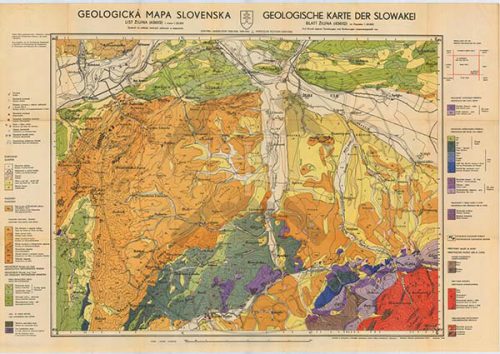
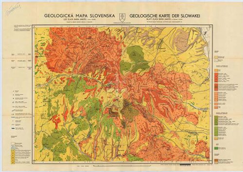
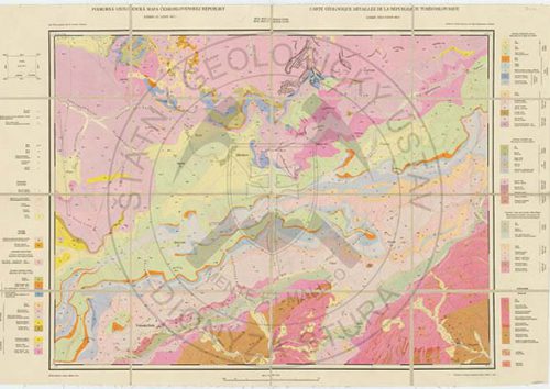
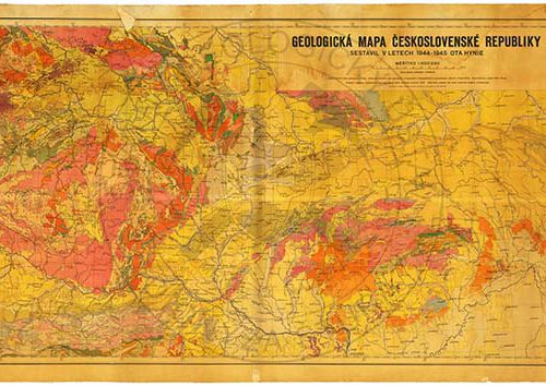
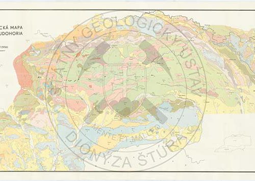
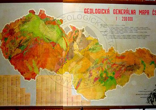
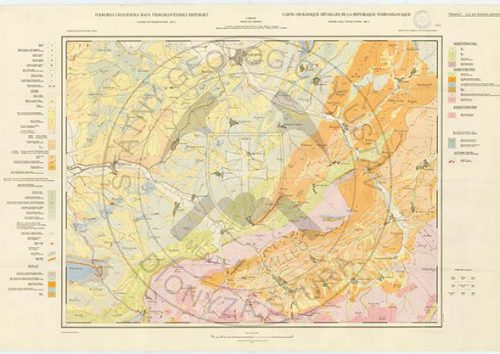
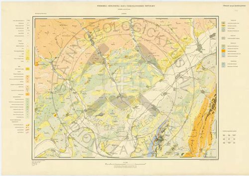
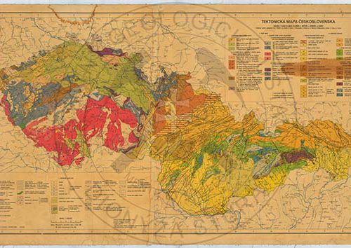
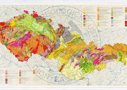
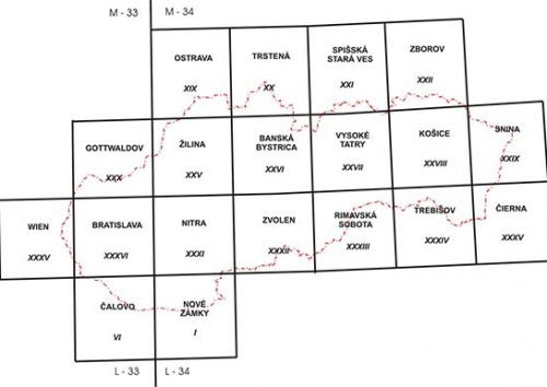
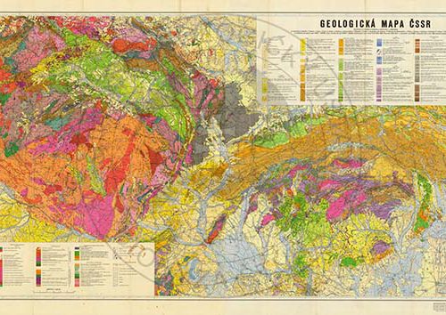
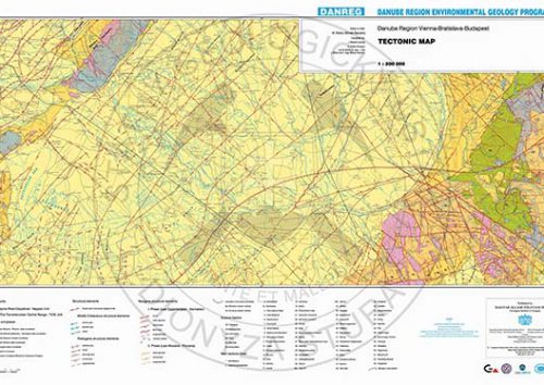
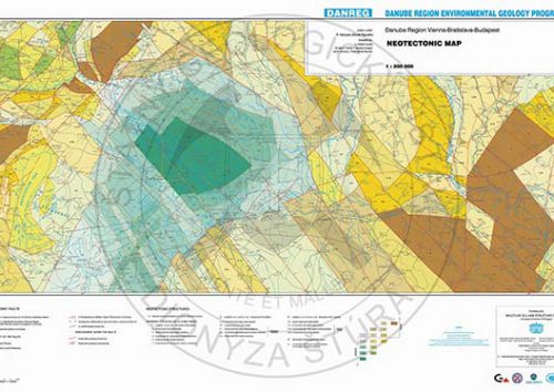
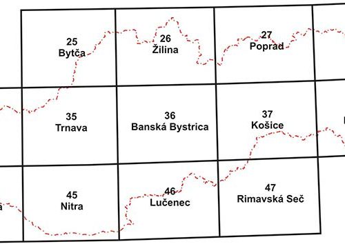
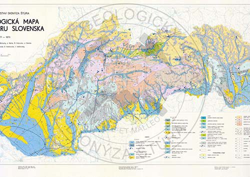
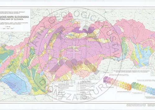
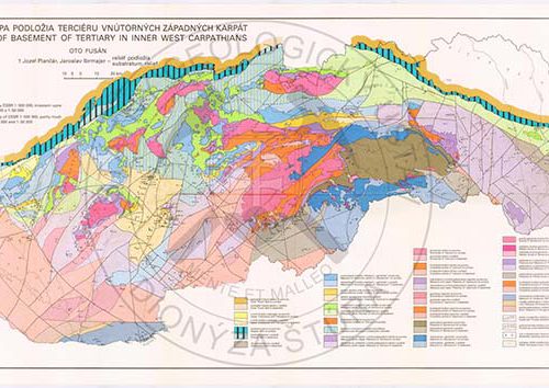
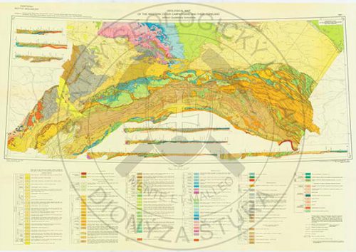
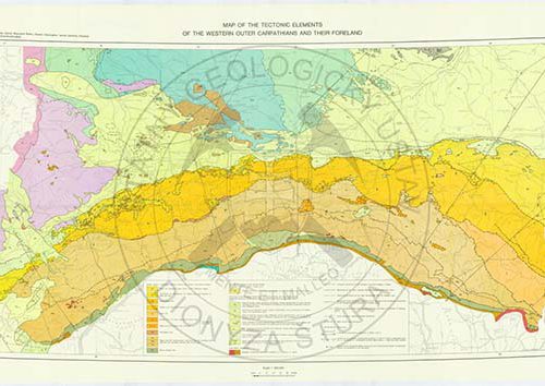
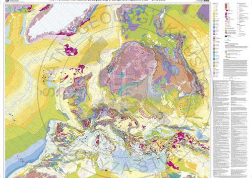
Geological maps in the era of interactive availability.
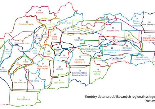
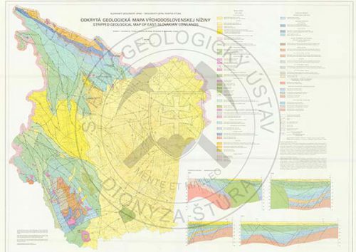
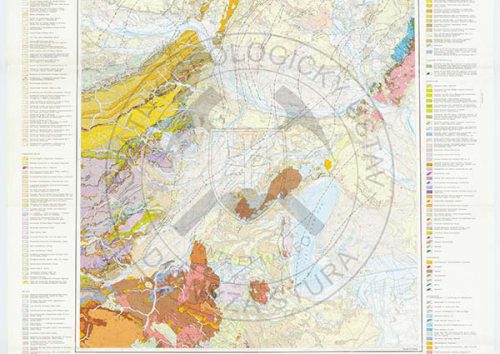
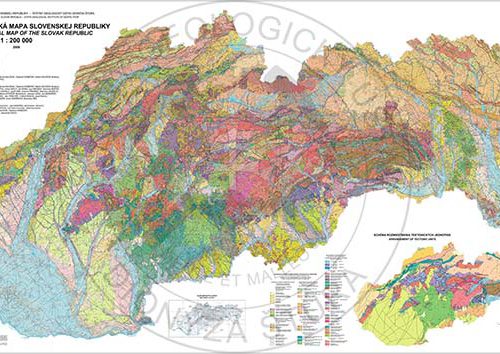
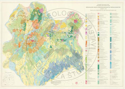
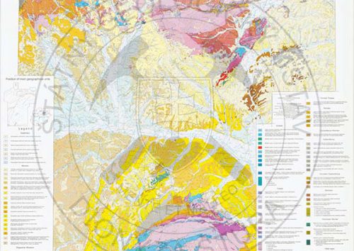
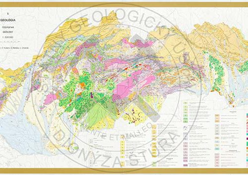
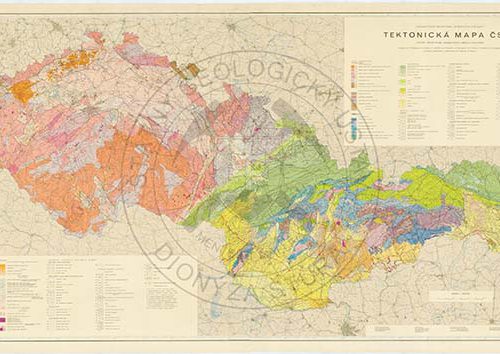
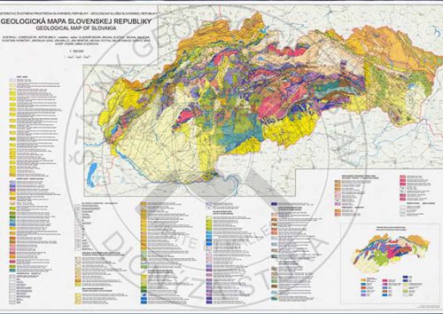
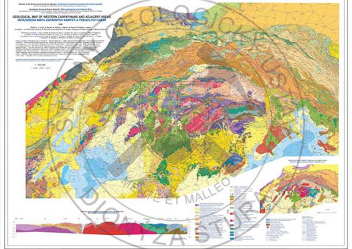
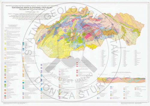
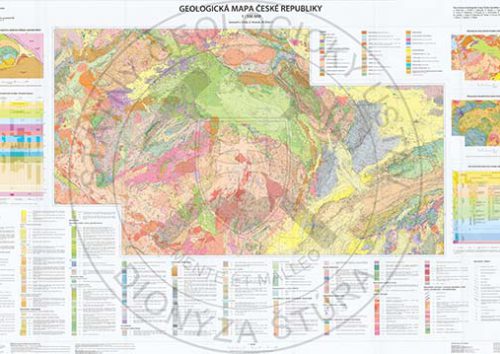
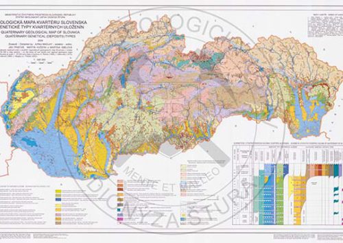
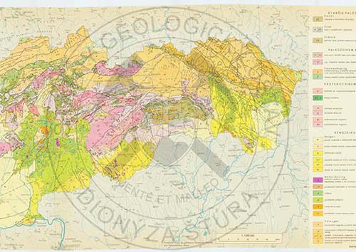
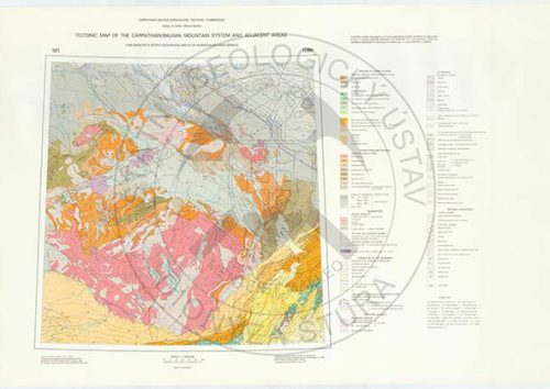
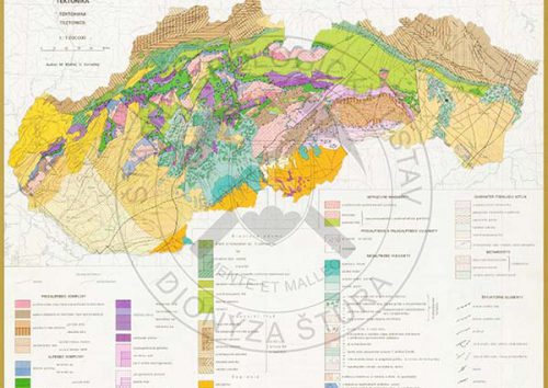
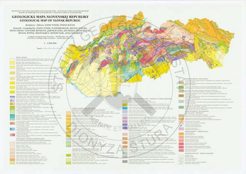
Thanks to the initiative of the Ministry that commissioned our Institute to raise the awareness of the general public about the geology, a group of SGIDŠ experts reviewed the field studies results achieved over the decades, and on the basis of published and unpublished geological maps they compiled a single legend to the Geological Map of Slovakia in the scale 1: 50 000 (Káčer et al., 2005). This unique work has been subsequently made available in the form of the Digital Geological Map of the Slovak Republic in the scale 1: 50 000 and 1: 500 000 on the SGIDŠ portal (www.geology.sk) in the section of the Map Server.
In the compilation of the digital geologic map significantly stepped to the forefront varying level of geological map processing, drawn up by the then available scientific methods and disciplines. For the first time the issues could be defined related to combining the so far published geological maps, compiled in different time periods. This is highlighted on the attached information layer of the quality of geological materials, based on which the geologists-specialists elaborated the map manuscripts. This has revealed the need of new processing of problematic parts of the territory depicting the geological setting of SR.
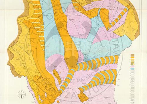
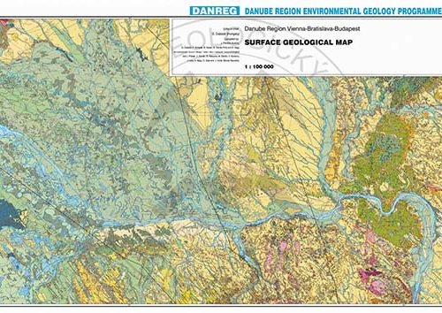
It is important to realize it because to the geological maps are closely linked and directly from them are derived other mapping works – palaeogeographic maps, maps of sediments thicknesses, geological-educational, geophysical, hydrogeological, engineering geological, geothermal, mineral deposits maps, geochemical maps, landslide maps, map files of an environmental nature, etc.
Many of them, non-cited in this review, were assembled as part of the Atlas of Landscape of SR (Hrnčiarová et al., 2002) and are available for professionals and non-specialists on our Web site on the Map Server or can be purchased or ordered in our Publications Shop.
Conclusions
From the above review it follows that the modern geological map is not or cannot be finished forever as ideal mapping work. It is only a reflection of the level of knowledge, to the year of its creation. The scientific progress is on track as a rapid stream, and this is valid for geology, as well.
Geology, however, as one of the few disciplines, cannot exist without a field research. The need to physically verify the new outcrops always arising in the increasingly developing constructions, whether in-line structures (roads, tunnels, pipes) or in the acquisition of new samples, for example, in the implementation of the geothermal wells, is a pre-requisite for progress. New data have to be included in the above map information system conducive to the constant knowledge of good practice in all areas of research and exploration of our territory.
Only the field verification of files of rocks, samples taking for detailed research and refinement of newly acquired results will contribute to the more-accurate perception of the geological setting of the Slovak Republic, whose primary output is updated geological map.
The geological map is the most important document upon which all the products of geological disciplines are overlapping. Without it, they would have found themselves in the „air“, with no real base. No matter whether it is a characterization of near-surface rock masses providing the environment for potable water sources, or deeper structures in which mineral waters generate or geothermal sources. The engineering geological and hydrological phenomena are concentrated in the uppermost sphere of human activities in the rock environment and the territory susceptibility lto andslides or flood vulnerable areas could not be assessed without a geological map.
To conclude, we express the conviction that this contribution will facilitate the awareness of professional and, in particular, layman publics and will inspire representatives of the other geoscience disciplines, who on the basis of geological map compile and publish thematic geological maps
Alexander Nagy, Ladislav Martinský
Acknowledgements
Although most of the geological maps and pretty much all the publications cited are from my archives, my thanks go to my colleagues from SGIDŠ – in particular, Dr. Buček and Dr. Havrila, for borrowing the oldest published geological maps, Dr. Fordinál and Dr. Maglay for providing the latest map works, Dr. Gluch for the selfless contribution by the maps scans of the first edition of the 1: 200 000 and Mr. Filo for his kind and at the same time critical assessment of the content of this contribution.
My thanks go to the Central geological Library of the Slovak Republic, SGIDŠ, storing the publications and geological maps, to Mrs. Remžíková for her supply of non-folded maps and the SGIDŠ management for a kind permission given to Mrs. Kuchárová to prepare the map scans and their annexes and Mgr. Szatlmayer for graphic and technical work when placing the documents on the SGIDŠ webpage.
And of course I thank to Dr. Martinský for his cooperation, for graphic design and location of our common contribution on the SGIDŠ webpage and Dr. Liščák for the English translation of the original Slovak text.
Alexander Nagy
References (.pdf)


