Applied geophysics studies a variety of physical (both natural and artificial) fields of the Earth from the air, at the surface, at water surface and in underground; these fields are important in addressing regional and detailed geological practice tasks.

The results of measurements and outputs find their application practically in all areas and stages of the solutions of the survey. Their main task and objectives is to define the units with approximately the same physical characteristics.

The geophysical methods enable us to identify electric, (electro) magnetic, mechanical, gravimetric, radiometric, and various other properties of the rock environment.

Rationally designed complex of geophysical methods allows for quick, cheap, and effective assessment of the area of interest.

Geophysical applications were made accessible for the publics on April 2009, last update on Jule 2021.
Professinal quarantee: RNDr.  Igor Zeman;
tel: 02/59375 478; e-mail: igor.zeman[at]geology.sk

geoelektrika

Geoelectrics

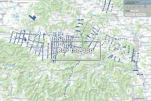
Object-oriented information system with a set of relevant information, data and documents from selected VES measurements from the whole territory of Slovakia.
Read more
karotaz

Logging

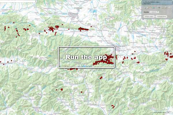
Geophysical measurements in the borehole (logging) represent a comprehensive set of geophysical methods.
Read more
radio

Maps of natural radioactivity

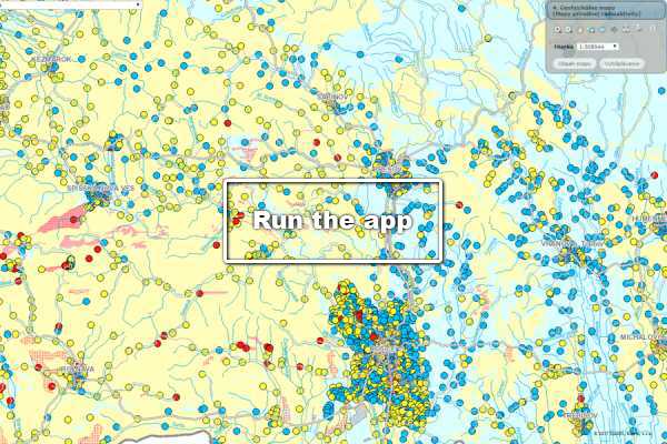
A set of general maps of natural radioactivity of the Slovak Republic (rock, underground and surface water, radon risk) at scale 1: 500 000, or 1: 200 000.
Read more
cezium 1

Map of caesium radioactivity

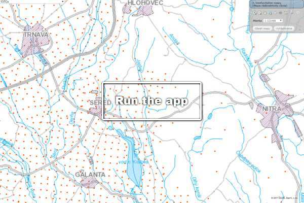
A set of spatial maps of caesium activity documenting the state of the pollution of the territory of Slovakia by this radioisotope (1.1.2005).
Read more
gravimetria

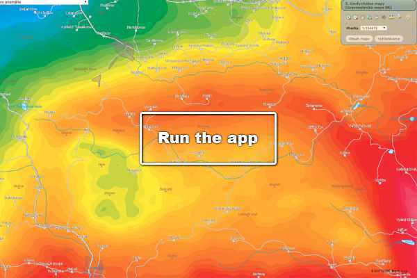
Gravimetric Map of the Slovak Republic

Map of complete Bouguer anomalies (UBA) and purpose-derived gravity map of Slovakia at scales of 1: 500 000 and 1: 200 000.
Read more
magnet

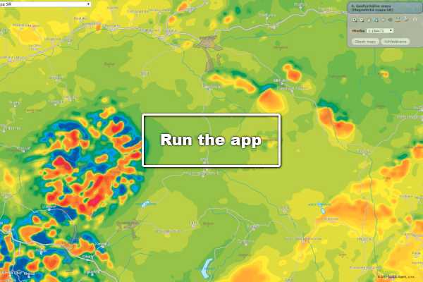
Magnetic Map of the Slovak Republic

Aeromagnetic measurements and the results of ground-based measurements of the vertical component of total vector of magnetic induction of the Earth’s magnetic field (Z).
Read more
seizmika

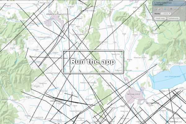
Seismics

Basic meta-information on individual seismic objects (profiles, or areas).
Read more
gfmerania

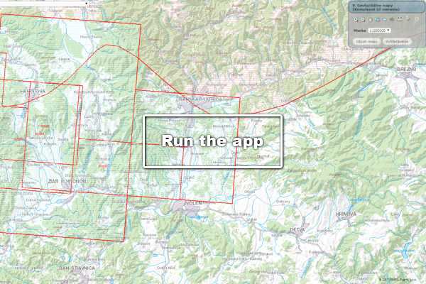
Complex Geophysical Measurements

Geophysical measurements with link to the digital archive.
Read more