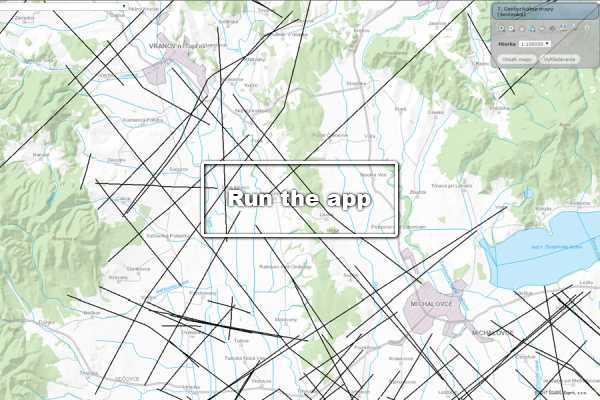
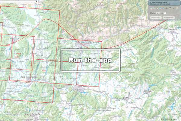
Applied geophysics studies the Earth’s diverse natural and artificial physical fields. Measurements are taken from the air, the surface, the water’s surface, and underground, and their results help address both regional and detailed problems in geological practice.

The main objective of geophysical methods is to delineate areas with similar physical properties and to determine the electrical, (electro)magnetic, mechanical, gravitational, and radiometric properties of the rock environment. A suitably selected set of methods thus enables a rapid, cost-effective, and efficient assessment of the area of interest.
geoelektrika

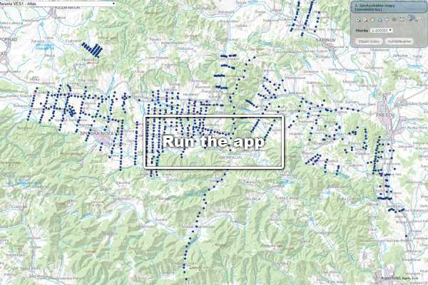
Geoelectrics

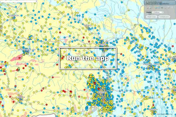
Database of geoelectric measurements obtained using the vertical electrical sounding (VES) method.
Read more
karotaz

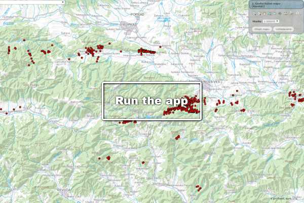
Logging

Database of geophysical measurements in boreholes (logs).
Read more
radio

Maps of natural radioactivity

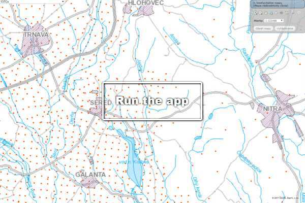
Distribution of Natural Radionuclides in Terms of Radon Risk.
Read more
cezium 1

Map of caesium radioactivity

Surface activity of the cesium radioisotope, recalculated as of the reference date of January 1, 2005.
Read more
gravimetria

Gravimetric Map of the Slovak Republic

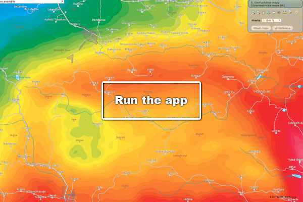
Map of Total Bouguer Anomalies and Map of Residual Gravity Anomalies.
Read more
magnet

Magnetic Map of the Slovak Republic

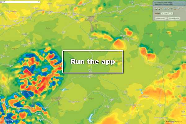
An image showing the distribution of an anomalous magnetic field.
Read more
seizmika

Seismics

Basic metadata on seismic features in the Slovak Republic.
Read more
gfmerania

Complex Geophysical Measurements

Database of final reports on geophysical surveys.
Read more