Creating a geological map is a long-term process, and the complete mapping of Slovakia takes decades. During this time, interpretations of the geological structure of the Western Carpathians have evolved naturally. Thanks to new methodologies, we are now able to determine the age and tectonic classification of rocks more accurately. This process is ongoing, which is why we regularly refine and update our maps.

📐 The Four Dimensions of a Geological Map

Although a geological map appears two-dimensional at first glance, it conceals much more:

  • 3rd dimension (Depth): An experienced geologist can use it to determine the area’s subsurface structure.

  • 4th Dimension (Time): The map provides a detailed account of the temporal evolution and history of the formation of our natural environment.
GeologickaMapa

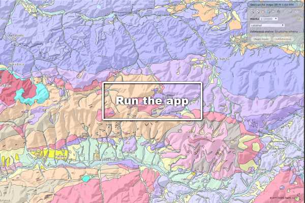
Geological Map of the Slovak Republic at scale 1:50 000

The map combines regional geological maps into a single unit with a unified legend.
Read more
PrehladoveGeologiceMapy

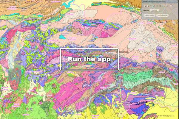
General Geological Maps

Four separate geological maps at various scales.
Read more
TematickeMapy

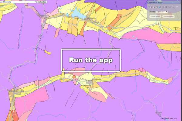
Thematic Maps

14 general maps with brief descriptions at scales of 1 : 500,000 and 1 : 200,000.
Read more
HydrologickeMapy

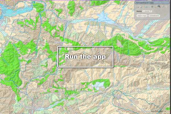
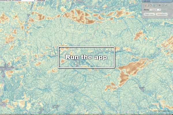
Hydrogeological Maps

Hydrogeological maps of the Slovak Republic at scales of 1:200,000 and 1:50,000.
Read more
HydrogeochemickeMapy

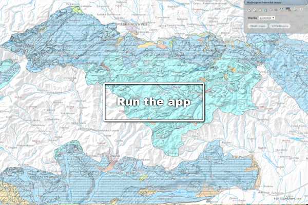
Hydrogeochemical Maps

Basic hydrogeochemical map of selected regions, scale 1:50,000.
Read more

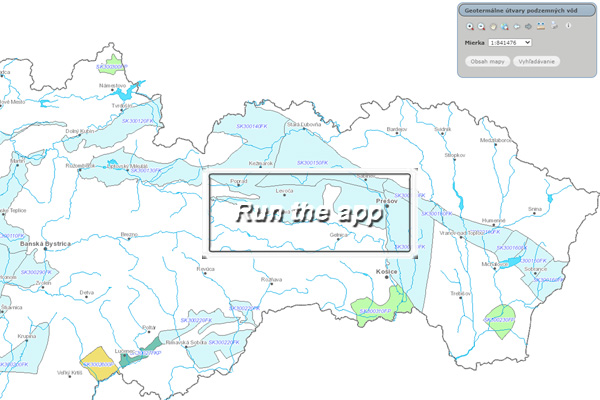
Geothermal groundwater bodies

Groundwater Categories in Slovakia – Geothermal Groundwater Bodies.
Read more
GibGes

GIB-GES

Results of the GIB-GES geological project, carried out between 2007 and 2011.
Read more
UkladanieOxidu

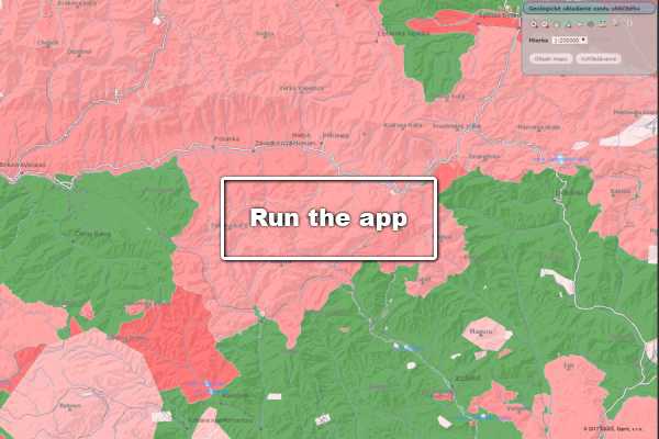
Geological Storage of CO2

Areas where it is legally and geologically feasible to establish carbon dioxide storage sites.
Read more
gme20000 1

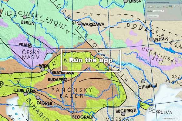
Geological Division of Europe

The structural scheme of Europe on a continental scale.
Read more
spisgemer 1

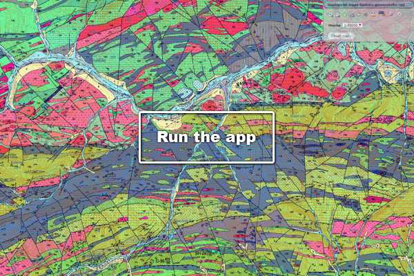
Geological Map of the Spiš-Gemer Ore Mts.

An interpretation of the geological structure, lithology, and tectonics of the Spiš-Gemer region.
Read more
akt50js 1

Actualisation of Geological Setting of Problematic Territories

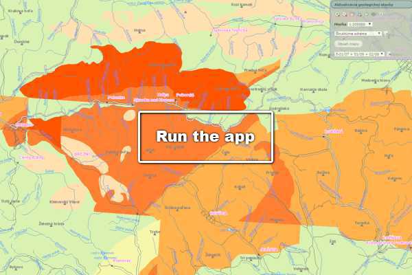
Results of a geological project focused on revising the Digital Geological Map of the Slovak Republic at a scale of 1:50,000.
Read more