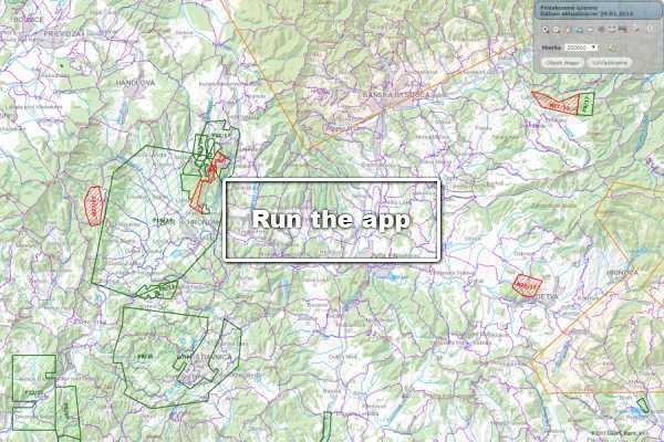
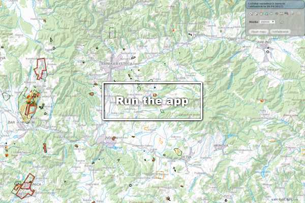
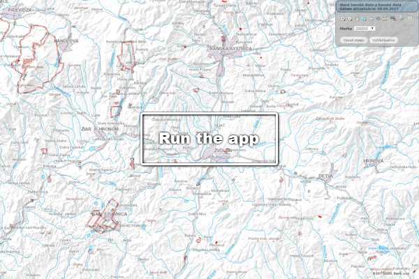
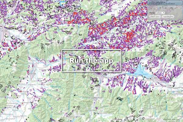
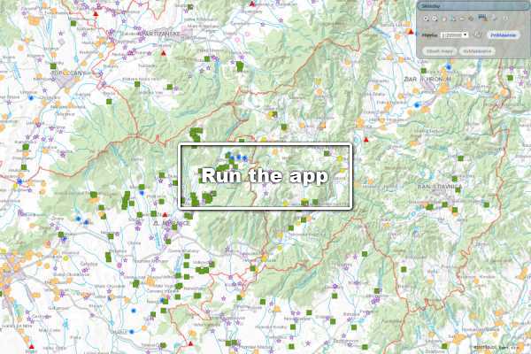
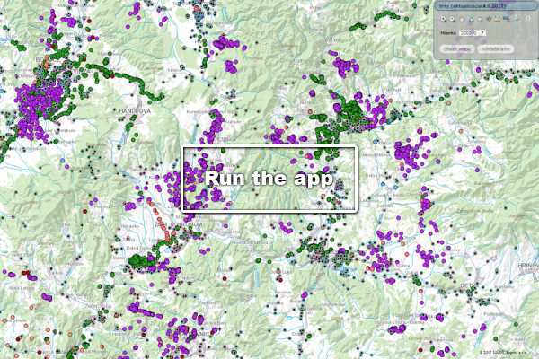
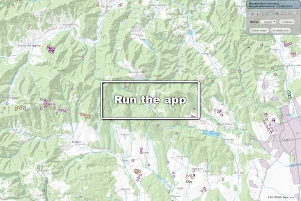
Geofond’s registries provide comprehensive spatial information on the geological exploration of the territory of the Slovak Republic.
Although these registries were historically created at different times, today they form a comprehensive data system that serves as a key foundation for construction and planning practices.
🏢 Practical Applications
The registries’ web applications are an indispensable tool, particularly for:
-
Assessing investment construction projects.
-
Municipal land-use planning (ÚPN O).
-
Spatial planning for higher territorial units (ÚPN VÚC).
⚖️ Legislative Framework
Data processing and use are conducted strictly in accordance with applicable regulations:
-
Geology Act (Act No. 569/2007 Coll. on Geological Works).
-
Mining Act (No. 44/1988 Coll., on the Protection and Use of Mineral Resources).
-
Building Act (No. 50/1976 Coll., on Spatial Planning and Building Regulations) as amended.