

|
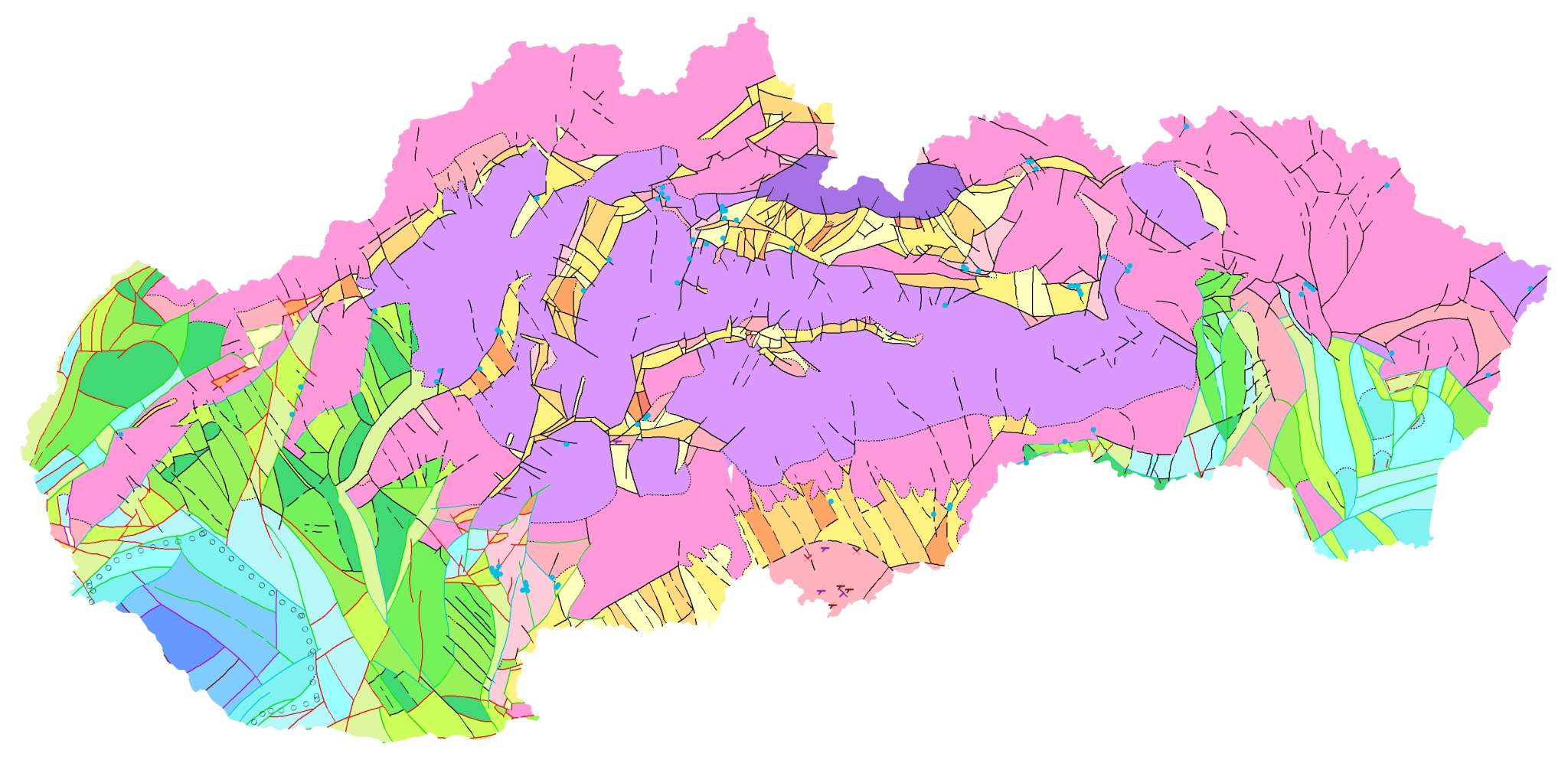
1. Neotectonic Map of Slovakia, Maglay, J. et al., 1999, scale 1:500,000 For the first time, it presents a comprehensive qualitative and areal assessment of the most recent cycle of tectonic activity in the Western Carpathians and the Pannonian Basin within Slovakia. It illustrates the resulting structuralization of tectonic activity during this cycle of geodynamic evolution. It records the relative dynamics of vertical movements of individual block structures-distinguishable at this scale – it depicts their current state and the resulting probable movement trends for forecasting the subsequent development of tectonic activity in the next geological period. Given that, compared to earlier geological periods, the Quaternary is extremely short and, moreover, is represented in Slovakia exclusively by continental developments, the situation depicted on the map is not limited solely to the Quaternary period but captures movements over a time span extending to the last 3.5 million years, thereby also accounting for the dynamics of the Upper Pliocene. Another reason for extending the period of tectonic evolution under study is the often problematic distinction in practice between Upper Pliocene and Lower Pleistocene sediments, due to a gradual sedimentary transition in subsiding areas, or the corresponding continuous tectonic evolution at the Pliocene – Quaternary boundary. Furthermore, when evaluating the data for map creation, the Pliocene period was considered the initial phase of geodynamic evolution in the Quaternary. |
 |
|
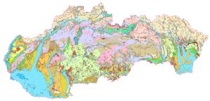
2. Geological Map of the Quaternary of Slovakia – Map of Genetic Types of Quaternary Deposits, Maglay, J. et al., 2009, scale 1:500,000 The map clearly illustrates the spatial distribution and areal extent of all basic, as well as some selected “transitional,” genetic types of Quaternary sedimentary and volcanic rocks in Slovakia. It provides a primary overview of the sequence of their development and the patterns of their distribution and deposition. The map also includes a lithostratigraphic scheme of the Quaternary in Slovakia. |
 |
|
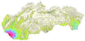
3. Geological Map of the Quaternary of Slovakia – Map of Quaternary Deposits Thickness, Maglay, J. et al., 2009, scale 1:500,000 For the first time at this scale and within this conceptual scope, the map provides a qualitative and areal assessment of the thickness of Quaternary deposits in the Western Carpathians and the Pannonian Basin within Slovakia. In relation to the individual genetic types depicted on the map of Quaternary deposit genetic types, the thickness map illustrates the resulting structuring of the Quaternary cycle of geodynamic evolution in Slovakia. Its main content consists of isolines of Quaternary deposit thickness depicted in corresponding depth intervals, graded by color. The depth intervals are graded to reflect as accurately as possible the neotectonic conditions of the territory and the vertical movement trends of the individual structural-tectonic blocks shown in the accompanying diagram. |
 |
|
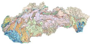
4. General Geological Map of the Quaternary of the Slovak Republic, Maglay, J. et al., 2011, scale 1:200,000 This is the first map ever produced at this scale, depicting the spatial distribution of a wide range of genetic types of deposits from the most recent period of Earth’s geological history – the Quaternary. Its content is a purposeful synthesis of knowledge gained through long-term geological mapping and research of the Quaternary in Slovakia. It provides a basic understanding of the geological structure of Quaternary deposits and serves as a foundation for advanced synthetic scientific studies as well as in the fields of applied geology and pedology. In addition to a qualitative and areal assessment of individual genetic types of Quaternary deposits, it also includes linear features depicting the course of Quaternary faults and point features indicating small – scale archaeological and paleontological sites. |
 |
|
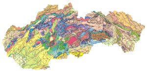
5. Tectonic Map of the Slovak Republic, Bezák, V. et al., 2004, scale 1:500,000 The majority of the Western Carpathian mountain range lies within the territory of the Slovak Republic. This mountain range has undergone a long-term and complex tectonic evolution. In the tectonic map of the Slovak Republic, the team of authors presents their current view of the tectonic structure of the Western Carpathians. The map and its legend are organized according to the stages of the tectonic evolution of the Western Carpathians. The 1:500,000 – scale tectonic map of Slovakia is based primarily on the latest 1:500,000 – scale geological base maps (Biely et al., 1996; Lexa et al., 2000) and supplements data from regional geological maps at a scale of 1:50,000. The most recent tectonic maps at these scales were the Tectonic Map of Czechoslovakia at a scale of 1:500,000 (Maheľ et al., 1984) and the Tectonic Map of Czechoslovakia at a scale of 1:1,000,000 (Biely et al., 1968). Tectonic Evolution of the Western Carpathians and the Structure of the Tectonic Map (PDF) |
 |
|
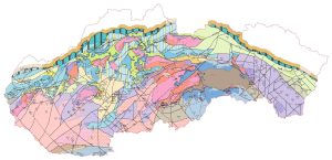
6. Tectonic Map of the Tertiary basement of the Inner Western Carpathians, Fusán, O. et al., 1987, scale 1:500,000 The tectonic map of the Tertiary basement of the Inner Western Carpathians at a scale of 1: 500,000 depicts the exposure of the fundamental tectonic units from the Pre-Upper Cretaceous period, when the nappe structure was formed. The map shows the distribution of tectonic units at the surface and an interpretation of their continuation beneath the Cenozoic (Paleogene, Neogene, and Quaternary) sedimentary and volcanogenic formations overlying the tectonic units. The interpretation of the structure is based on geophysical data and boreholes that reached pre-Tertiary formations in the bedrock, or on boreholes that were important for interpretation but did not reach the bedrock. Also depicted in the bedrock is a network of faults, thrusts, and nappe boundaries – some identified from surface features and others inferred from geophysical measurements and boreholes. The Tertiary bedrock of the Inner Western Carpathians is interpreted as the Pieniny cliff zone, which separates the Inner and Outer Western Carpathians (according to A. Biely’s classification). In the outer (flysch) belt, the thickness of the sedimentary rock layers – primarily of Tertiary age – is so great that even today there is not a single borehole in Slovakia that has reached the bedrock beneath the flysch layers. Geophysical measurements allow only indirect interpretations of the tectonic structure and lithological composition of the pre-Tertiary bedrock in the outer Western Carpathians; therefore, the map does not show the outer zone. Interpretation of the buried Pre-Tertiary basement in basins and depressions is a fundamental prerequisite for the exploration of new mineral resources and geothermal energy sources in deep geological structures. |
 |
|
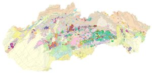
7. Metallogenic Map of the Slovak Republic, Lexa, J. et al., 2004, scale 1 : 500,000 The metallogenic map is based on a simplified Geological Map of the Slovak Republic at a scale of 1 : 500,000 (Biely et al., 1996), with modifications for the Geological Map of the Western Carpathians (Lexa et al., 2000). The metallogenic map shows all deposits and occurrences of ore resources, including numerous mineralogical occurrences. The size of the symbol indicates whether the feature is a large or medium-sized deposit, a small deposit, a deposit occurrence, or a mineralogical occurrence. Unlike a deposit map, the size classification is based on the size of the object prior to mining, not on the current state of reserves or resources. |
 |
|
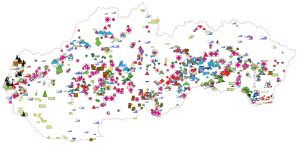
8. Mineral Resources of Slovakia, Zuberec, J. et al., 2004, scale 1 : 500,000 This set of maps provides a clear overview of the distribution and reserves of mineral deposits and significant occurrences of mineral resources in Slovakia. The latest findings were drawn from the results of the geological studies “Metallogenic Assessment of the Territory of the Slovak Republic” and “Comprehensive Assessment of Mineral Resources of the Slovak Republic.” The latest monograph, ”Mineral Resources of the Slovak Republic”, directly complements this set of maps. Together, they offer a comprehensive body of information and an overview of Slovakia’s mineral resource base, highlighting new trends in the utilization of its mineral potential. |
 |
|
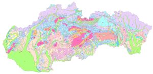
9a. Engineering-Geological Zoning, Hrašna, M., Klukanová, A., 2002, scale 1 : 500,000 Engineering-geological regions are delineated based on the genesis and lithological nature of the rocks. A distinction is made between Quaternary and pre-Quaternary rock regions. Where distinct Quaternary lithological complexes occur in a superimposed sequence, and the thickness of the surface complex is less than 5 m, combined regions are defined, with both types of complexes indicated in their names and symbols. On the schematic map, the delineated regions correspond to the basic geological-tectonic units of the Western Carpathians; subregions are delineated partly according to the same principles as the regions and partly according to the specific lithological composition of the rock environment. The delineated territorial units of this zoning system make it possible, at a given level of detail, to determine the suitability of the rock environment for various forms of land use. |
 |
|
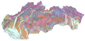
9b. Map of Engineering-Geological Zones, Liščák, P. , 2017, scale 1 : 50,000 The map depicts territorial units delineated based on the consistency of occurrence of certain lithological rock types within individual genetic-facial complexes exposed at the surface of the territory. The map depicts 50 different engineering-geological zones of Pre-Quaternary and Quaternary rocks. Since the base map used is the 1:50,000 Digital geological map of the Slovak Republic, which generally depicts Quaternary rocks thicker than 5 m (or, in some cases, Quaternary rocks of lesser thickness but which are exceptional in terms of their genesis – dead-arm sediments, peatlands, and anthropogenic fill – Quaternary regions are depicted over a significantly smaller area than they actually cover. The map also includes legend tables containing the symbol and name of the engineering-geological region and the name of the lithological-genetic formation. |
 |
|
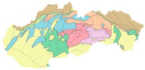
10. Regional Geological Division of Slovakia, Vass, D. et al., 1998, scale 1:500,000 In the late 1970s, the need arose for a regional geological classification of the Czechoslovak Western Carpathians. This need arose from the emerging databases associated with intensifying regional geological research and the program to create geological maps of the regions at a scale of 1:50,000. In compiling this classification, the principles used to develop the regional geological division of the Bohemian Massif were broadly followed. The map of the regional geological division of the Western Carpathians and the northern extensions of the Pannonian Basin defines units of three orders, from the largest to the smallest. In some areas, fourth-order units have also been identified, typically representing complexes of Pre-Tertiary bedrock surrounded by younger rocks. The units of the regional geological classification are compared with those of the regional geomorphological classification (Mazúr & Lukniš, 1978; 1980, and Czudek et al., 1972). They are similar across most of the territory, but differ in some areas, such as in basins and depressions or in the units of the Inner Carpathian Paleogene. A more detailed classification can be found on the map. |
 |
|
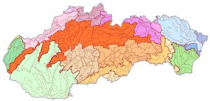
11. Geomorphological Division of Slovakia, Kočický, D. and Ivanič, B., 2011, scale 1 : 50,000 From 2007 to 2011, the ŠGÚDŠ, in cooperation with Esprit Banská Štiavnica, carried out a geological project “Comprehensive Geological Information Base for Nature Conservation and Landscape Management (GIB-GES).” One of the results is a refined map of the Geomorphological Division of Slovakia, which was created by revising the boundaries of the geomorphological units on the Map of Geomorphological Division at a scale of 1 : 500,000 (Mazúr and Lukniš 1986). The hierarchical classification of units was adopted from this map. The boundaries of these units were adjusted based on a digital elevation model with a resolution of 20×20 m and the morphometric characteristics derived from it, a 1:50,000 digital geological map, a digital map of abiocomplexes, a digital map of the river network, maps of horizontal and vertical relief, and satellite imagery, so as to reflect the geomorphological, geological, and tectonic conditions of the area as expressed at the appropriate scale. The units delineated in this manner were then geostatistically evaluated and characterized by summary indicators – minimum and maximum elevation, elevation range, average elevation, river network density, average slope within the geomorphological unit, and the overall ruggedness of the geomorphological unit’s relief. All characteristics are part of a digital spatial database. |
 |
|
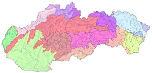
12. Geomorphological Division of Slovakia, Mazúr, E. and Lukniš, M. 1986, scale 1:500,000 The analog maps by Mazúr and Lukniš depicting the geomorphological division of Slovakia are among the most significant works in Slovak geography. They are the work of two prominent classical, field-based synthetic geographers. The authors drew upon Hromádek’s orographic classification (1956), as well as a map of relief types (Mazúr 1975), geological maps at a scale of 1:200,000, a map of the morphostructures of the Western Carpathians, and, above all, their own findings from fieldwork. The classification of their geomorphological division underwent some evolution, and the digital map shown here is based on the more recent edition from 1986 (Mazúr, E., Lukniš, M., 1986: Geomorphological Division of the SSR and ČSSR. Slovakia Section. Slovak Cartography, Bratislava). The territory of Slovakia is hierarchically subdivided into 499 individual geomorphological units across 8 levels: system, subsystem, province, subprovince, region, unit, subunit, and part. Slovakia is part of the Alpine-Himalayan system; its territory is divided into two subsystems – the Carpathians and the Pannonian Basin – which are further subdivided into the Western and Eastern Carpathians, and the West Pannonian and East Pannonian Basins, respectively. A more detailed breakdown can be found on the map. |
 |
|
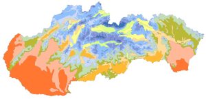
13. Climatic-geographic Types, Kočický, D. and Ivanič, B., 2011, scale 1 : 50,000 From 2007 to 2011, the Slovak Geological Survey (ŠGÚDŠ), in cooperation with the company Esprit Banská Štiavnica, carried out a geological project “Comprehensive Geological Information Base for Nature Conservation and Landscape Management (GIB-GES).” As part of this project, a climatogeographic classification of the climate was also developed. The climate in Slovakia is highly diverse. Its character depends on the intensity of solar radiation, atmospheric circulation, elevation, and the region’s distance from the sea. These are the most important climate-forming factors that influence temperature patterns, precipitation, and cloud cover. Slovakia lies within a transitional, Central European climate zone characterized by a temperate climate, with regular seasonal changes and a prevailing westerly flow. In the western and northwestern parts, the influence of the Atlantic Ocean predominates, while in the south and east, the influence of the Mediterranean climate and the continental climate of Eurasia prevails. Another significant climatogenic factor is the highly rugged topography of Slovakia and the zonal arrangement of its mountain ranges, which create a barrier effect. The degree of maritime influence on the climate reaches 50% in the western part of the country, while the degree of continental influence rises to 55% toward the east. This results in more extreme winters in eastern Slovakia and longer, drier summers with more sunshine than in the western part of the country (Špánik, Šiška et al., 2004). Slovakia’s climate is divided into three basic climatogeographic types: • lowland climate with moderate temperature inversion, dry to moderately dry, • basin climate with significant temperature inversion, moderately dry to humid, • mountain climate with a small temperature inversion, humid to very humid. |
 |
Štátny geologický ústav Dionýza Štúra
zabezpečuje výkon štátnej geologickej služby v Slovenskej republike

