



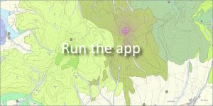
 Authors: Žec, B., Kaličiaková, E., Žecová, K., Stercz, M., Rovňák, L., Palko, L. | Scale: 1 : 50,000 | Year of compilation: 2001
The web application provides a professional interpretation of the geological structure of the area and also serves as a comprehensive guide to the natural values, tourist attractions and significant mineralogical localities of this unique region.
🌋 The easternmost volcanic mountain range in Slovakia
The Vihorlat Mountains represent a distinctive dominant of eastern Slovakia with a typical volcanic relief. The mountain range is characterized by preserved forms of volcanic activity and deep forests.
🗺️ Geographical and administrative division
The area of interest of the map work extends on the border of two regions and extends into four districts:
-
Košice Self-Governing Region: districts Michalovce and Sobrance
-
Prešov Self-Governing Region: districts Snina and Humenné
🌲 Nature and landscape protection
The map coverage covers a rich network of protected areas, in which it has a central position:
-
Vihorlat Protected Landscape Area: Declared in 1974 to protect rare volcanic formations, beech forests and specific fauna and flora.
-
Other protected objects: The system records and locates numerous nature reserves, natural monuments and protected areas throughout the mountain range.
Useful links:
👉 [ Natural beauties and historical monuments of the Vihorlat Mountains (PDF) ]
📅 About the application
Application launch: 03/2013