



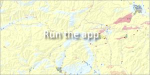
 The application provides a set of clear maps of natural radioactivity in the territory of the Slovak Republic at scales of 1 : 500,000 and 1 : 200,000. The map works were processed from the results of extensive field measurements and laboratory analyses.
🗺️ What does the application map?
Natural radioactivity is monitored in the following components:
-
Rocks
-
Groundwater and surface water
-
Radon risk
🔬 Data and methodology used
The maps were compiled based on two main pillars using the principles of geological analogy:
-
A comprehensive geological map of the Slovak Republic (Bezák et al., 2008, scale 1:200,000)
-
Hydrogeological regionalization of Slovakia (Šuba et al., 1995)
Additional structural-geological, hydrogeological, engineering-geological and archival radiometric data were also taken into account during the creation.
🗺️ List of map attachments made available in the application
- Gamma spectrometry
- Gamma spectrometry – anomalous objects
- Radon risk
- Geophysics of environmental loads
- Potassium concentration
- Uranium equivalent concentration
- Thorium equivalent concentration
- Total natural radioactivity
- Gamma radiation dose rate in air
- Radiohydrochemical sampling
- Final reports
📋 Project and application information:
Data source: Geophysical database archiving relevant data financed from the state budget of the Slovak Republic since 1990.
📅 About the application
Application launch: 04/2009
Last update: 04/2010