



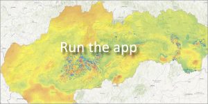
 Magnetometry, as a part of applied geophysics, examines the Earth’s magnetic field. Measured anomalies help locate subsurface objects and structures with different magnetic properties.
Practical uses of magnetometry:
-
Searching for deposits of iron ores and magnetic minerals.
-
Solving engineering, environmental and geological problems.
-
Non-contact survey in archaeology and pyrotechnics.
📊 Database development and origin data
The application makes available the comprehensive results that were obtained when compiling the Magnetic Map of Slovakia. The resulting model combines two historical stages of measurements:
1. Historical measurements (early 1960s):
-
-
Type: Aeromagnetic (airborne) measurements supplemented by ground measurements of the vertical component of the total magnetic induction vector (Z).
-
Areas: Danubian Lowland, East Slovak Lowland and the western part of the outer flysch belt of the Western Carpathians.
-
2. Additional measurements (years 2005 – 2008):
-
-
Type: Ground-based measurements of the total induction of the Earth’s magnetic field (T).
-
Correction: The measured values were corrected for accuracy by the international reference normal field (IGRF 1995).
-
📅 About the application
Application launch: 04/2009
Last updated: 04/2010