



 Author: Bačo, P. et al. | Year of publication: 2004
Data type: Combined map model (vector points + raster distribution layers)
The application presents the results of an extensive correlation task Reinterpretation of the thin-bed survey in Slovakia. Its main goal was to unify and evaluate historical and more recent sample material from dozens of regional geological tasks in a uniform way. This is the first ever comprehensive assessment of the territory of Slovakia in terms of geological, metallogenetic and environmental aspects based purely on tailings prospecting (a method of mining heavy minerals from river sediments).
📊 Scope of the unique database
Thanks to this task, a robust database was created, with which the web application actively works:
-
More than 50,000 analyzed tailings samples.
-
More than 60 attributes assigned to each sample (location, mineralogical composition, semi-quantitative values).
🗺️ Cartographic part and scale
The graphic attachments are processed in a clear scale 1 : 800,000 and are divided according to the type of display:
-
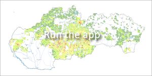
Vector layer: Precise point localization of all sampling points and map of regional fines prospecting tasks.
-
Raster layers: Distribution and interpretation maps 36 selected mineral species, where the abundance of minerals is shown by a color raster.
📖 Citation of the work:
BAČO, P. et al.: Atlas of heavy minerals [online]. Bratislava: Dionýza Štúr State Geological Institute, 2010. Available on the Internet: https://app.geology.sk/atlastm.
📅 About the application
Application launch: 04/2010