



 Geophysical measurements in a borehole, known as logging, represent an extensive set of methods that provide detailed information about the physical properties of rocks directly along the axis of the borehole.
📊 What do logging measurements detect?
-
Rock properties: degree of porosity and type of pore filling (water, oil, gas), electrical resistance and density.
-
Technical condition: geometric course of the borehole axis and overall technical condition of the drilling work.
-
Well dynamics: physical properties of the fluid in the borehole and current hydromechanical ratios.
📂 Available historical data
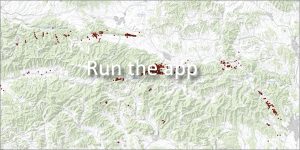
The GeoIS portal currently provides access to unique results of logging measurements of the former Czechoslovak Uranium Survey, k. p. Liberec, plant IX., Spišská Nová Ves.
🗓️ This historical data has been obtained gradually since the first half of the 1950s.
📅 About the application
Application launch: 04/2009