



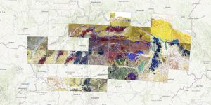
The Imperial-Royal Reich Geological Institute in Vienna began its activities on December 1, 1849. One of the first tasks was a geological survey and the compilation of a geological map of the entire Austro-Hungarian Monarchy. a derived geological map on a scale of 1:144,000, so-called Special Maps.
The main coordinator and editor of the entire project was the director of the institute, Wilhelm Haidinger. He personally signed the first version of the individual map sheets in the lower right corner, and for this reason the maps are referred to as “Haidinger’s maps”.
Most of the map sheets from the territory of Slovakia are stored in the Slovak mining archive in Banská Štiavnica. They are part of the map fund of the HKG Main Chamber County Office. The geological maps not only of this fund were digitally processed in the framework of cooperation between 2003 and 2004. The Slovak Mining Archive, together with the Czech Geological Service and ŠGÚDŠ, is the co-author of the unique DVD Geological Maps of Europe (1780-1918) focusing on the territory of the Czech and Slovak Republics (Čejchanová et al., 2004). We assume that this DVD was also one small “seed” that contributed to the fact that the entire HKG fund was entered into the UNESCO Memory of the World register in 2007. Part of the map sheets (author’s manuscripts) was provided in digital form by the Austrian Geological Institute.