Vedecká konferencia Geochémia 2024
V dňoch 10-11.4.2024 prebehol 27. ročník vedeckej konferencie s medzinárodnou účasťou s názvom „GEOCHÉMIA 2024“ na pôde Štátneho geologického ústavu Dionýza Štúra…


V dňoch 10-11.4.2024 prebehol 27. ročník vedeckej konferencie s medzinárodnou účasťou s názvom „GEOCHÉMIA 2024“ na pôde Štátneho geologického ústavu Dionýza Štúra…
Primárnym cieľom výstavy je priblížiť publiku rôznorodosť a dôležitosť geologickej služby pre spoločnosť. Návštevník si môže na viac ako tridsiatich…
ŠGÚDŠ vydal nové číslo časopisu Mineralia Slovaca 55/2/2023. Mineralia Slovaca je vedecký recenzovaný časopis, ktorý vydáva Štátny geologický ústav Dionýza…
Dňa 6.2.2024 oddelenie ATNS privítalo v priestoroch svojich laboratórií študentky zo Strednej odbornej školy beauty služieb na Gemerskej 1 v Košiciach. Hlavnou…
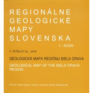
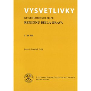
Vysvetlivky ku geologickej mape regiónu Biela Orava
Tieto vysvetlivky si tiež môžete bezplatne stiahnuť vo formáte PDF TU.
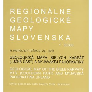
Vysvetlivky ku geologickej mape Bielych Karpát (južná časť) a Myjavskej pahorkatiny
Tieto vysvetlivky si tiež môžete bezplatne stiahnuť vo formáte PDF TU.
Vysvetlivky ku geologickej mape Žiaru
Tieto vysvetlivky si tiež môžete bezplatne stiahnuť vo formáte PDF TU.
Geologická mapa Záhorskej nížiny (II. vydanie)
Túto mapu si tiež môžete bezplatne stiahnuť vo formáte PDF: 1. Obálka 2. Mapa (prvá časť) 3. Mapa (druhá časť)
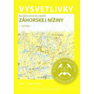
Vysvetlivky ku geologickej mape Záhorskej nížiny
Tieto vysvetlivky si tiež môžete bezplatne stiahnuť vo formáte PDF TU.
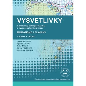
Vysvetlivky k základnej hydrogeologickej a hydrogeochemickej mape Muránskej planiny v mierke 1 : 50 000
Tieto vysvetlivky si tiež môžete bezplatne stiahnuť vo formáte PDF: 1. Vysvetlivky 2. Mapy a prílohy
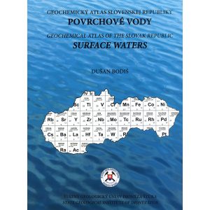
Geochemický atlas Slovenskej republiky: Povrchové vody
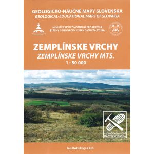
Geologicko – náučné mapy Slovenska: Zemplínske vrchy (1 : 50 000)
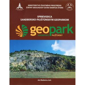
Geologicko – náučné mapy Slovenska: Sandbersko-pajštúnsky geopark (1 : 25 000)
| Cookie | Duration | Description |
|---|---|---|
| CookieLawInfoConsent |
| Cookie | Duration | Description |
|---|---|---|
| _ga | The _ga cookie, installed by Google Analytics, calculates visitor, session and campaign data and also keeps track of site usage for the site's analytics report. The cookie stores information anonymously and assigns a randomly generated number to recognize unique visitors. | |
| _gid | 1 day |
| Cookie | Duration | Description |
|---|---|---|
| devicePixelRatio | 7 days |